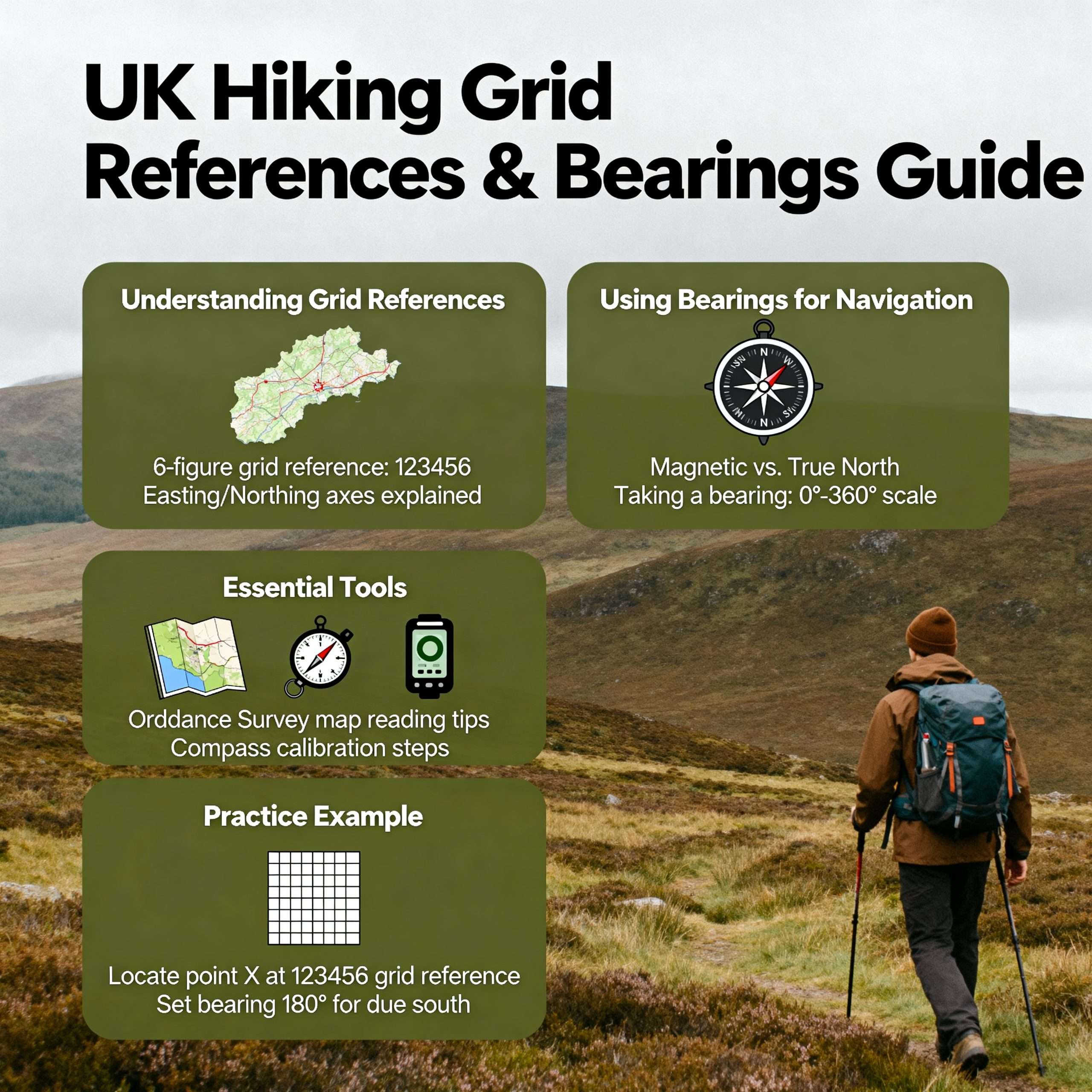
Beginner Guide
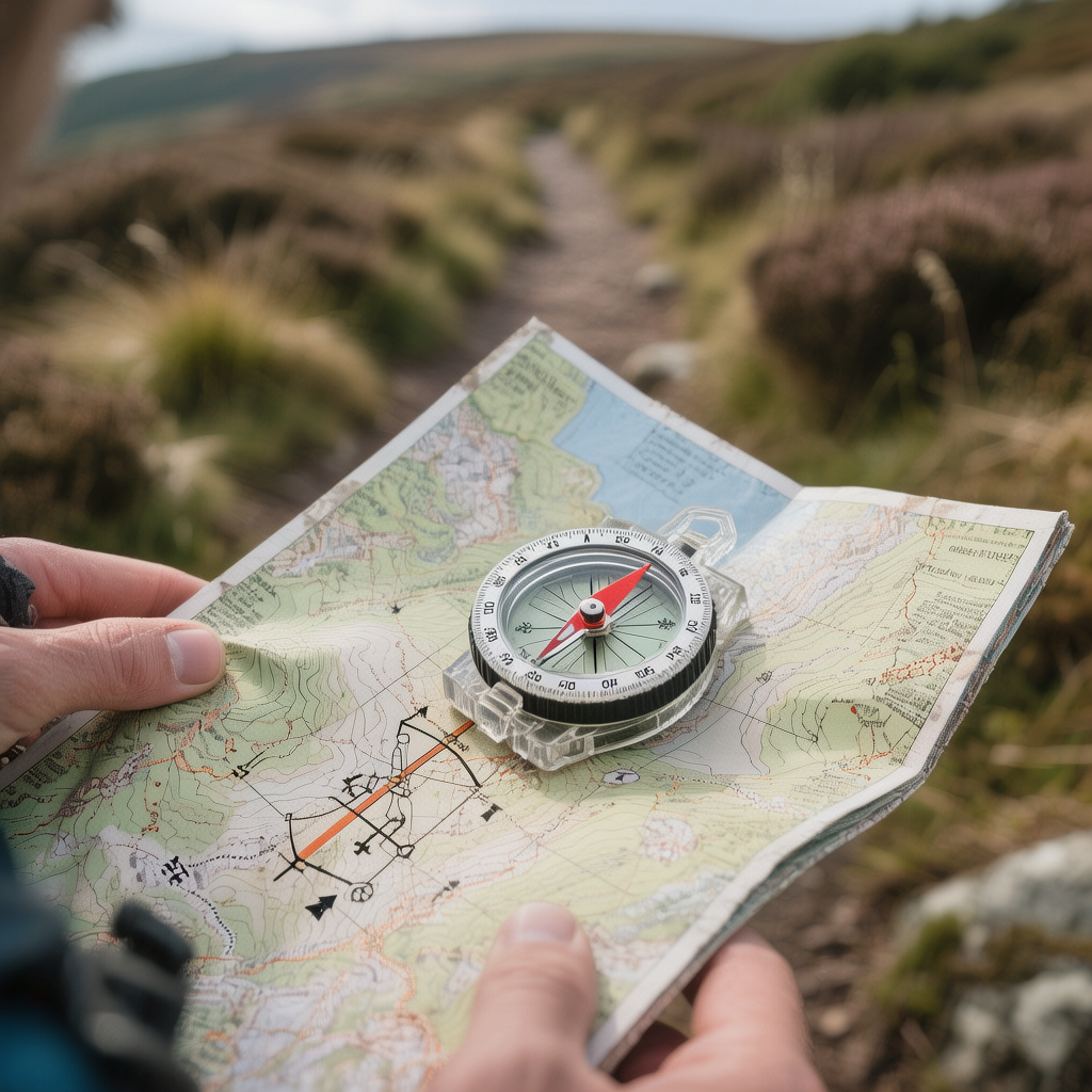
Grid References and Bearings for Hiking UK are the fundamental building blocks of safe mountain travel in the British Isles. While many walkers rely on clear paths and good weather, the ability to use a map and compass effectively ensures you remain in control when conditions change. In the UK, where mist can descend rapidly on the fells or moors, these UK hiking navigation skills provide a reliable way to pinpoint your location and maintain a precise direction of travel. By mastering grid references, you gain the ability to communicate your position accurately, while bearings allow you to navigate through poor visibility with certainty. Together, these skills reduce the risk of navigation errors and provide a vital safety net for anyone moving beyond waymarked trails into more remote terrain.
Grid References and Bearings for Hiking UK
Grid references and bearings for hiking UK are integrated navigation techniques that allow walkers to pinpoint their exact location on an Ordnance Survey map and follow a precise direction across the landscape using a compass. These skills are essential for maintaining safety and confidence when exploring the UK’s diverse and often challenging terrain. Understanding how to use a compass in the UK is a vital aspect of outdoor navigation, enabling hikers to orient themselves effectively. By mastering the art of taking bearings and using grid references, adventurers can navigate confidently even in unfamiliar areas. Practicing these techniques in various settings can greatly enhance one’s overall hiking experience and ensure a safer journey.
What You’ll Learn in This Guide
- What grid references are and how the National Grid system works
- The difference between four-figure and six-figure grid references
- What bearings are and when they are required in UK terrain
- How to take a bearing from a map and follow it on the ground
- Common navigation mistakes to avoid for safer hillwalking
What Are Grid References on an Ordnance Survey Map?
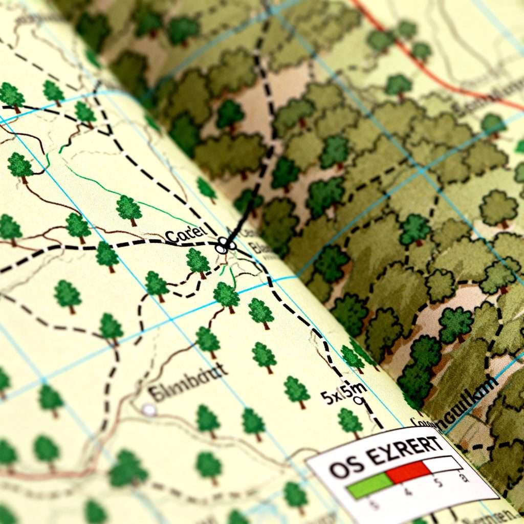
The Ordnance Survey (OS) National Grid is a system of squares that covers the entire country, providing a unique reference for every location. On your map, you will see a series of blue grid lines. The vertical lines are called “eastings” because their numbers increase as you move east across the map. The horizontal lines are called “northings” because their numbers increase as you move north.
Understanding grid references hiking UK is vital for accuracy and safety. Instead of describing your location in vague terms, a grid reference provides a mathematical coordinate that can be understood by other hikers or emergency services. This system remains consistent regardless of the weather, providing a universal language for navigation in the British outdoors.
Four-Figure vs Six-Figure Grid References
Grid references are typically shared in two formats depending on the level of precision required. A four-figure grid reference identifies a single one-kilometre square on the map. This is often sufficient for general route planning or identifying large landmarks like a forest or a broad summit. It essentially tells you which “box” on the map you are currently in.
A six-figure grid reference is much more precise, narrowing your location down to a 100-metre square. This level of detail is vital in UK hillwalking when you need to find a specific point, such as a stile, a bridge, or a narrow mountain pass. Accuracy is particularly important in emergencies, as a six-figure reference allows others to find your exact position with minimal searching.
What Is a Bearing in Hiking Navigation?
A bearing is a measurement of direction, expressed in degrees from 0 to 360, taken from the map and applied to the ground using a compass. While a map shows you the “where,” a bearing provides the “which way.” This is one of the most critical bearings navigation UK skills because it allows you to maintain a straight line of travel even when you cannot see your destination.
In the UK, where “whiteout” conditions or thick fog can obscure all landmarks, a bearing acts as your invisible path. It ensures that you do not walk in circles—a common tendency when humans lack visual references—and keeps you moving toward your target regardless of the visibility or the complexity of the terrain.
How Bearings Are Taken from a Map
Taking bearings with a compass involves a simple, methodical process of transferring a direction from the map to the compass housing. First, you place the edge of your compass baseplate on the map, connecting your current location to your next destination. It is essential that the “direction of travel” arrow on the compass points toward where you want to go.
Next, you rotate the compass housing until the internal orienting lines are parallel with the vertical blue grid lines (eastings) on the map. You must ensure the orienting arrow inside the housing is pointing toward the top of the map (North). Once this is set, the number at the top of the housing is your grid bearing, which is now ready to be used to guide your movement on the hillside.
Following a Bearing Safely on the Ground
To follow the bearing, you hold the compass flat in your hand and turn your whole body until the red magnetic needle sits exactly inside the orienting arrow you set in the previous step. The direction of travel arrow now points exactly where you need to go.
In the uneven terrain of UK hills and moorland, you should not walk while staring at the compass. Instead, look along the line indicated by the compass and pick out a distinct feature—a specific rock, a tuft of heather, or a fence post—and walk to it. Once there, repeat the process. This “point-to-point” method ensures you maintain an accurate line even when you have to navigate around bogs or steep ground.
Using Grid References and Bearings Together
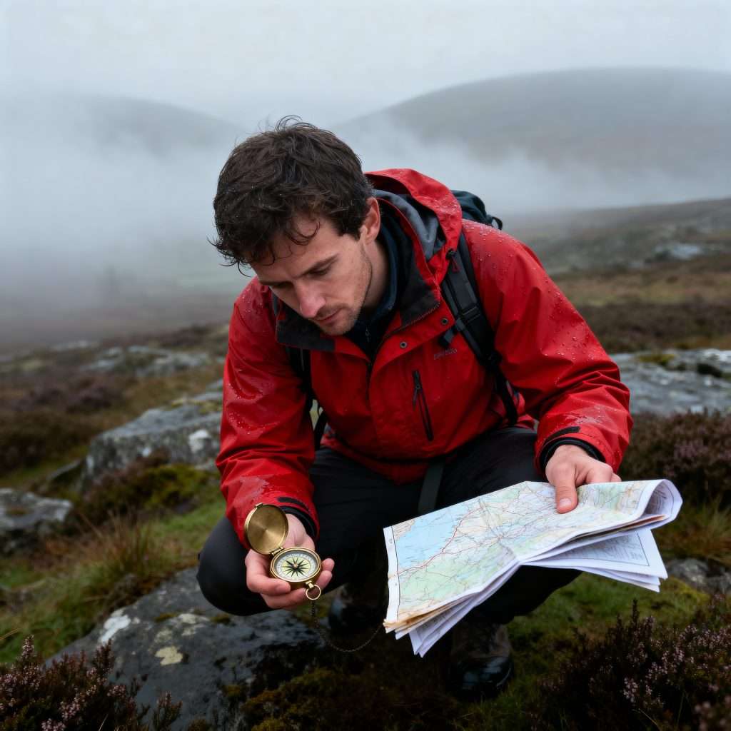
The most robust way to navigate is to use grid references and bearings as a combined system. A grid reference confirms your starting point, and a bearing provides your direction. By regularly checking your position on the map using grid references, you can verify that your bearing is actually taking you to the correct location.
This is especially important in typical UK scenarios like crossing a large, boggy moor or descending a mountain in the clouds. Relying on a bearing alone can lead to “lateral drift,” where you walk in the right direction but end up to the left or right of your target. Using UK hiking navigation skills to “check in” on your progress ensures you stay on the correct path and reduces the risk of becoming disoriented. Additionally, it’s crucial to be prepared for any unexpected situations, which is why knowing first aid essentials for hiking can be a lifesaver. Carrying a compact first aid kit and being familiar with its contents will allow you to respond effectively in case of minor injuries or emergencies. Combining navigation skills with preparedness ensures a safer and more enjoyable hiking experience.
Common Navigation Mistakes UK Hikers Make
One of the most frequent errors is misreading the grid squares. Always remember the rule: “along the corridor and then up the stairs.” This means you read the eastings (bottom numbers) first, then the northings (side numbers). Reversing these will give you a completely wrong location on the map.
Another common mistake is forgetting to orient the map to the ground. If your map is not facing the same way as the landscape, it is very easy to take a bearing in the opposite direction. Finally, overconfidence in a bearing can lead walkers to ignore the terrain. If your bearing tells you to walk through a lake or over a cliff, you must stop and reassess; the map and your eyes should always work together.
When Navigation Errors Become Safety Issues
Navigation errors rarely lead to trouble instantly; instead, they compound over time. A small mistake in a grid reference can lead to an incorrect bearing, which, over a few kilometres, can put you far from your intended route. When you add the effects of fatigue, fading light, or worsening weather, these small mistakes become much harder to correct.
The hallmark of a safe hiker is the willingness to stop. If the ground under your feet does not match what you see on the map, or if you feel uncertain about your bearing, stop immediately. Taking five minutes to calmly reassess your last known grid reference is far better than continuing to walk in the wrong direction. Confidence in the hills comes from knowing exactly where you are, not from how fast you are moving.
Frequently Asked Questions
Do UK hikers need to learn grid references?
Yes. Grid references are the standard way to identify locations in the UK. They are essential for accurate route planning, following guidebooks, and communicating your position to others. Without them, you cannot precisely locate yourself on an Ordnance Survey map, which is the primary tool for safe hillwalking. Learning how to interpret Ordnance Survey maps is crucial for navigating both familiar and unfamiliar terrains. By understanding these maps, you can make informed decisions about your route, estimate distances, and recognize potential hazards. Additionally, mastering grid references and map reading enhances your confidence while exploring the great outdoors.
Are bearings still useful when Grid References and Bearings for Hiking UK are available on a GPS?
Absolutely. A compass bearing does not require batteries or a satellite signal. In poor visibility, a compass is often more responsive than a GPS for maintaining a precise heading. Learning to use a compass ensures you have a reliable, fail-safe method of navigation if your technology fails or loses power.
How accurate do grid references need to be for hiking safety?
For general walking, a four-figure reference is often enough to know your general area. However, for safety and finding specific features in poor weather, you should be able to provide a six-figure reference. This narrows your location down to 100 metres, which is the standard level of precision required for safe navigation.
What to Learn Next
Understanding Mountain Weather Forecasts in the UK
What to Do If You Get Lost While Hiking
Hiking in Fog: UK Safety Tips
Conclusion
Developing your skills in Grid References and Bearings for Hiking UK is a rewarding process that significantly increases your independence in the outdoors. These techniques move you away from guesswork and toward a methodical, reliable way of exploring the landscape. Start by practicing in clear weather on familiar routes, and gradually build your confidence. As you become more proficient, you will find that the hills become less intimidating and more enjoyable, knowing that you have the skills to navigate safely back home, no matter what the British weather has in store. Additionally, as you enhance your navigation skills, it’s crucial to remain vigilant about safety, including recognising hypothermia symptoms while hiking. Being aware of the signs allows you to act swiftly and effectively, ensuring your well-being in unpredictable conditions. Remember, preparation isn’t solely about navigation; it’s also about being equipped for the challenges that nature may present.
