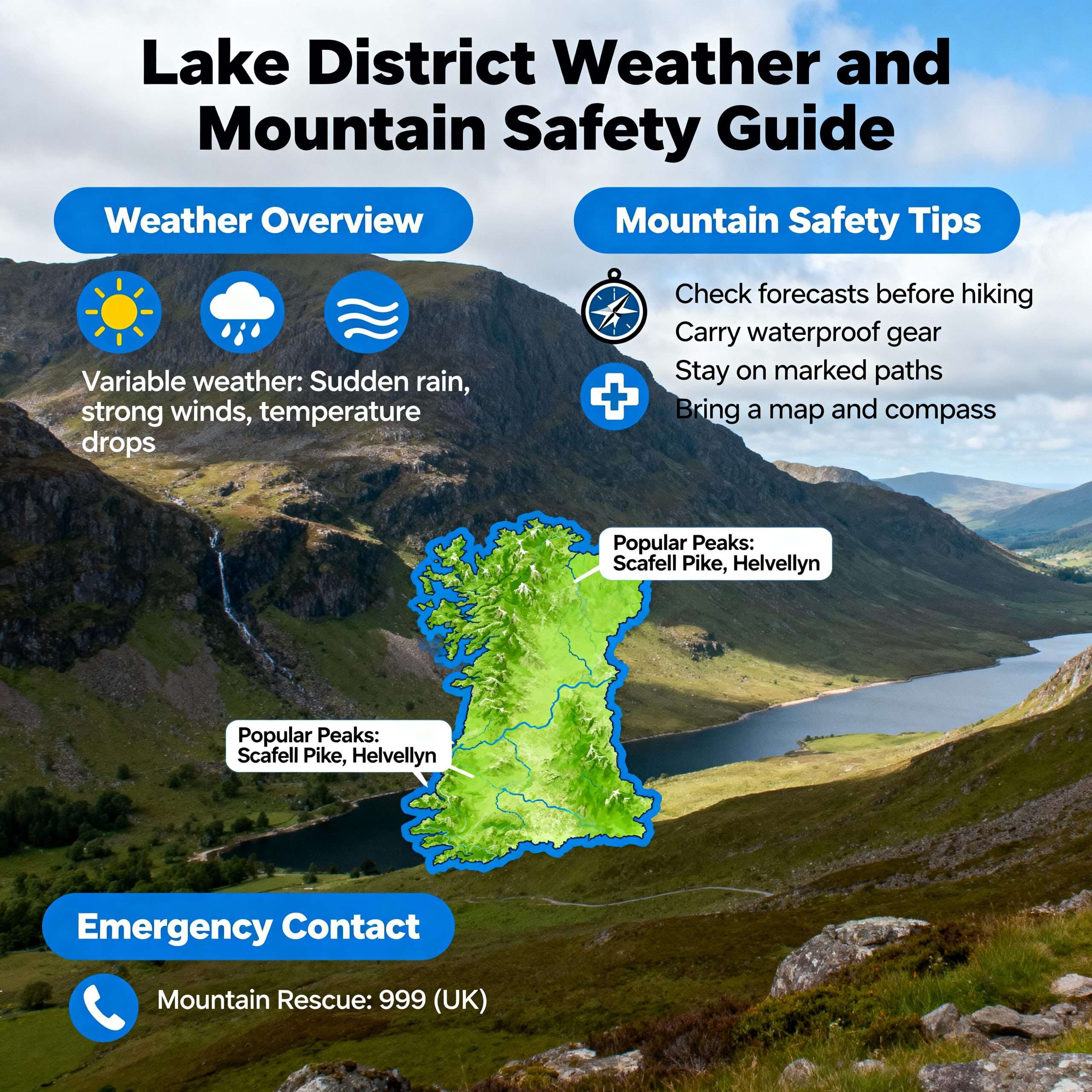
Understanding the nuances of Lake District weather and mountain safety is not just advisable, it is an essential prerequisite for any hiker wishing to explore the fells. The region’s stunning beauty belies a volatile environment where conditions can change in an instant, a fact underscored by the rising number of incidents requiring intervention from volunteer rescue teams. With callouts for the Lake District Search and Mountain Rescue Association (LDSAMRA) reaching a record 927 in 2024, and fatalities more than doubling from 14 in 2023 to 32, the need for robust preparation has never been more critical. This guide provides practical, authoritative advice on how to plan for and mitigate the risks associated with hiking in this magnificent yet challenging landscape.
Lake District weather and mountain safety
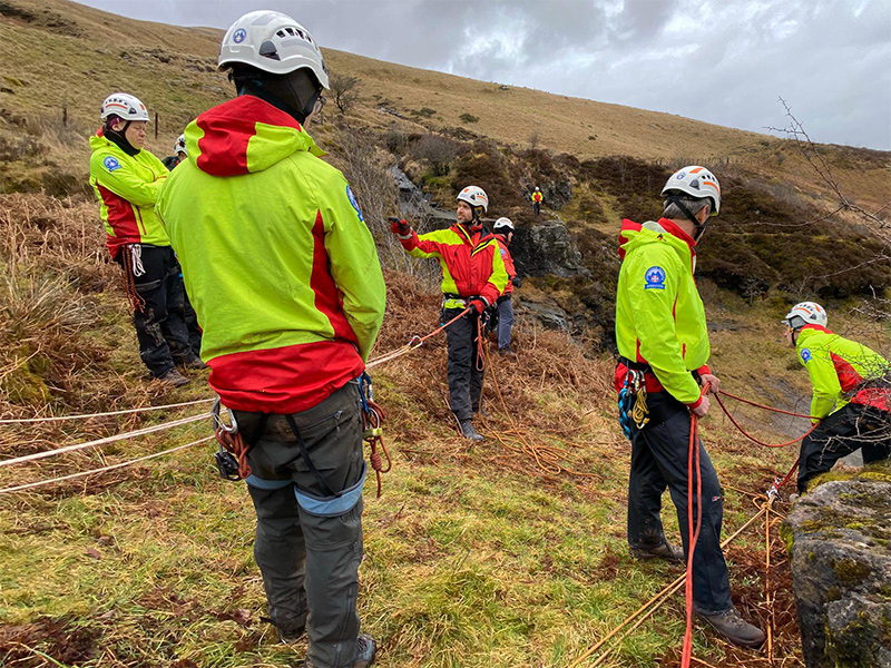
The increasing pressure on the Lake District’s twelve volunteer mountain rescue teams highlights a growing disconnect between the allure of the fells and the public’s preparedness. In 2024, teams across England and Wales were called out 3,842 times, with the Lake District being one of the busiest locations. LDSAMRA spokesman Richard Warren noted that 2024 was an “intense” year, with callouts up 20% on the previous record year of 2023 by the end of November. This surge is attributed not just to higher visitor numbers, partly driven by social media’s portrayal of “infinity pools” and scenic hotspots, but to a shift in the nature of incidents. Rescuers report that while issues of inappropriate footwear have lessened, a lack of fundamental preparation is now a primary cause of “avoidable” callouts, which constitute around 30% of all incidents.
These avoidable incidents, often involving people getting lost or underestimating the terrain, divert critical resources from life-threatening emergencies. The Wasdale team, for instance, responds to 160-170 incidents a year, a stark increase from 25-30 annually four decades ago, with half of their callouts being on Scafell Pike. Many incidents involve hikers becoming benighted (caught out after dark) or lost due to poor navigation, often relying solely on phone apps with no backup [3, 6]. The consequences can be severe, with hypothermia a risk even in summer and navigation blackspots like Piers Gill on Scafell Pike proving repeatedly perilous. This trend places an unsustainable burden on the 400+ volunteers who give their time, face personal risk, and rely on public donations to fund their life-saving work.
Understanding Lake District Mountain Weather
The defining characteristic of Lake District mountain weather is its variability. It is not uncommon to experience four seasons in one day, and conditions on the summits can be drastically different from those in the valleys. The region’s climate is milder than its latitude might suggest, but its position relative to the Atlantic and its significant upland areas make it one of the UK’s more exposed regions. Relying on a general urban forecast is a common and dangerous mistake; hikers must consult specialist sources like the Met Office mountain forecast, the Mountain Weather Information Service (MWIS), and the Lake District Weatherline, which has fell top assessors climbing Helvellyn daily to provide real-world ground condition reports.
- Wind and Wind Chill: The prevailing wind is south-westerly, and speeds increase significantly with altitude. Gale force winds (gusts over 50mph) are a frequent hazard above 300m, making walking strenuous and increasing the risk of being blown over on exposed ridges. The most significant danger is the ‘severe chill effect’. A moderate wind can make the ‘feels-like’ temperature many degrees colder than the actual air temperature. For example, a forecast for Friday 19th December 2025 showed an air temperature of 2-3°C at 750m, but a ‘feels-like’ temperature of -12°C in the wind. This dramatically accelerates heat loss and is a primary contributor to hypothermia.
- Rain and Snow: Rain falls throughout the year, and the Lake District is home to some of the wettest places in the UK; Seathwaite once recorded 253mm in 24 hours. In the mountains, this rain can be heavy and persistent, turning paths into streams and making rock greasy and treacherous. From November to April, this precipitation frequently falls as snow on the fells, with an average of 50 days of snowfall per year on the highest ground. Snow cover can create hidden dangers like cornices (overhangs of snow on ridge edges) and increase avalanche risk, while ice on paths makes specialised equipment essential. The freezing level, the altitude at which the temperature is 0°C, is a critical piece of forecast information, indicating where ice will be present and snow may settle.
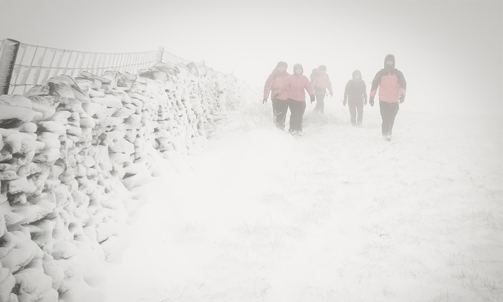
- Cloud and Visibility: Poor visibility is one of the greatest challenges in UK mountain weather safety. Hill fog and low cloud can descend rapidly, reducing visibility to less than 50 metres. In these conditions, navigation becomes extremely difficult, distances are hard to judge, and cliff edges can become invisible. When combined with snow cover, this can lead to a ‘white-out’, where the lack of features makes it impossible to distinguish the ground from the sky [14]. Forecasts often provide a ‘chance of cloud-free summits’, giving a good indication of how likely you are to have clear views and good visibility on the tops.
Common Weather-Related Risks for Hikers
The dynamic Lake District walking conditions create specific, recurring hazards that are major contributory factors in mountain rescue incidents. According to 2023 statistics from Mountain Rescue England and Wales (MREW), weather was a direct factor in 403 incidents, with poor visibility contributing to 144 and icy conditions to 76. Understanding these risks is the first step toward mitigating them.
- Hypothermia: This dangerous drop in core body temperature is a leading cause of medical emergencies and fatalities. It is caused by prolonged exposure to cold, exacerbated by wind and wet clothing. Even experienced fell-runners and walkers are vulnerable, as their cognitive senses decline as they cool, leading to poor decisions like pushing on instead of calling for help. Symptoms include shivering, confusion, disorientation, and tiredness. A fatality on Cross Fell due to hypothermia serves as a stark reminder of its severity. It is crucial to remember that hypothermia can occur even in summer when a hiker is caught in wind and rain without adequate waterproofs.
- Navigation Errors and Getting Lost: This is the most common reason for callouts for some teams, such as Coniston MRT, where ‘Walker(s) lost/missing’ accounted for 26.1% of incidents in 2024. Poor visibility is a major cause, making it easy to stray from a path, especially on featureless plateaus or complex terrain. A reliance on phone-based GPS without a backup map and compass is a recurring theme in rescue reports. Groups separating is another common error; one person may press on while another lags, leaving the less experienced member vulnerable if they lack the right gear or knowledge. The treacherous Piers Gill ravine on Scafell Pike, a notorious navigation blackspot, has been the site of over 40 rescues and several fatalities, prompting plans for new warning signage .
- Slips, Trips, and Falls: Falls are the primary cause of physical injuries, with lower leg (ankle/foot) injuries being the most frequent type. Wet, ‘claggy and greasy’ rock, as described in a ground report for Striding Edge, demands careful foot placement, especially when combined with buffeting winds. Icy paths in winter present an even greater hazard, making a slip almost inevitable without micro spikes or crampons. Such falls can lead to injuries ranging from sprains and fractures to life-changing or fatal head injuries.
- Gales and Extreme Winds: Gusts over 50mph make walking incredibly difficult and can physically blow a person off balance, a significant risk on exposed ridges like Helvellyn’s Striding Edge or on exposed summits. High winds make it harder to follow a compass bearing, can extend journey times, and contribute significantly to wind chill and fatigue.
Staying Safe on the Fells
Effective Lake District hiking safety is about proactive planning and sound decision-making on the hill. The Adventure Smart campaign, adopted by Cumbrian rescue teams and the British Mountaineering Council (BMC), provides a simple and effective framework based on three key questions.
1. Do I have the knowledge and skills for the day?
This involves an honest self-assessment. If you are new to hillwalking, start with well-signposted, lower-level routes before tackling major peaks like Scafell Pike or the scrambles on Helvellyn. Build experience slowly and consider joining a club or hiring a guide to learn essential skills.
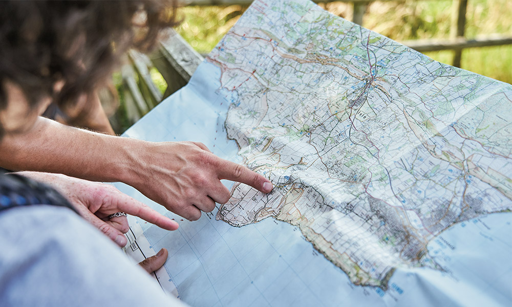
- Plan Your Route: Use a map to plan a route that matches your party’s ability, considering distance, ascent, and terrain. The Ordnance Survey safety advice recommends using their 1:25,000 scale Explorer maps, which show every footpath and contour line. Always plan an alternative or escape route in case of bad weather or fatigue.
- Leave a Route Plan: Tell a reliable person your intended route, including start/finish points and your estimated time of return. This is critical if you get into trouble.
- Pace and Party Management: Let the slowest member of your party set the pace and always stick together. Separating groups is a common cause of incidents. Take special care of the weakest members on the descent, as this is when fatigue-related accidents often happen.
- Turn Back: One of the most important skills is knowing when to turn back. If conditions deteriorate, if a party member is struggling, or if something just doesn’t feel right, do not be afraid to abandon your plan. The mountains will be there another day.
2. Do I know what the weather will be like?
As detailed above, checking a specific Lake District mountain weather forecast is non-negotiable. Look at the forecast for different altitudes (e.g., 600m and 900m) to understand how conditions will change as you ascend [16]. Pay close attention to wind speed, ‘feels like’ temperature, visibility, and the freezing level. Be prepared for the forecast to be wrong and for conditions to change suddenly.
3. Do I have the right gear?
Having the correct equipment is not about comfort, it is about survival. Your gear must keep you warm, dry, and able to navigate safely in challenging conditions. The next section details the essential kit for any day hike in the Lake District.

What to Carry for Safety in the Lake District
Carrying the right kit is a cornerstone of UK mountain weather safety. Even on a summer’s day, conditions on the tops can be cold, wet, and windy. The following list, compiled from advice by MREW and the BMC, outlines the essentials for a day hike. It’s vital to check mountain weather forecasts explained before heading out, as conditions can change rapidly. Always be prepared for unexpected weather changes by bringing layers, waterproof clothing, food, and sufficient water. A good map and navigational tools can also be lifesavers in unfamiliar terrain. Additionally, it’s important to understand the signs of hypothermia in yourself and your companions, as timely intervention can be crucial. Familiarize yourself with treating hypothermia symptoms effectively, as early recognition can prevent more serious health issues. Carrying a survival blanket and knowing how to use it can provide essential warmth in case of an emergency.
Essential Clothing & Footwear
- Waterproof Jacket and Trousers: Must be fully waterproof and windproof. They are your primary defence against wind and rain.
- Layered Clothing: Wear several thin layers (base, mid-fleece) rather than one thick one. This allows you to adjust your temperature easily. Avoid cotton, which holds moisture and chills you.
- Hat and Gloves: Essential year-round. A significant amount of body heat is lost through your head. Carry a spare pair of gloves.
- Walking Boots: Sturdy, waterproof boots with good ankle support and a treaded sole are vital for grip on uneven and slippery ground.
Navigation & Safety Equipment
- Map and Compass: Essential and you must know how to use them. A paper map (ideally a weatherproof ‘Active’ map from Ordnance Survey) is a reliable backup that never runs out of battery [19, 24].
- Head Torch and Spare Batteries: Crucial. Many rescues involve people being caught out by darkness. A head torch keeps your hands free. Carry a spare torch or batteries [19].
- Whistle: For signalling for help (six long blasts per minute). It uses less energy and carries further than shouting [15].
- Fully Charged Mobile Phone: For use in an emergency. Register with the emergencySMS service beforehand. However, do not rely on it for navigation as signal is unreliable and batteries fail in the cold [19, 25].
- Portable Power Bank: To recharge your phone if needed.
- First Aid Kit: A small personal kit including blister plasters, bandages, and any essential personal medication.
- Survival Bag or Bivvy Shelter: A lightweight, compact lifesaver if you are forced to wait for rescue.
In winter conditions (typically November to April), an ice axe and crampons are essential for safety on icy ground, along with the knowledge of how to use them correctly. Microspikes can be sufficient for flatter, icy paths but are not a substitute for crampons on steep terrain. Finally, always carry ample food and drink, including high-energy snacks and a hot drink in a flask during colder months, to maintain energy levels and stay hydrated. For a comprehensive packing list for various conditions, check out our guide to what to pack for Lake District Day Hikes.
What to Do in an Emergency
Even with the best preparation, accidents can happen. If you or someone in your party needs urgent help, the advice from Mountain Rescue England & Wales is clear. First, don’t panic. Assess the situation. If you are simply lost but not in immediate danger, try to work out your location using your map and compass before calling for help. If you find that you are truly lost, it’s important to stay calm and focus on finding shelter or a safe place to wait while you decide on your next steps. Consider using lost hiking tips for the uk, such as retracing your steps or using recognizable landmarks to guide you. Remember, it’s crucial to conserve your energy and remain in one place if you’re unsure of your location to enhance your chances of being found.
If you have a serious injury or are in a dangerous predicament, you need to call for Mountain Rescue. Before you call, gather the following details:
- Location: A six-figure grid reference from your map or a GPS device/app is best. If you don’t know, describe any nearby features (streams, cliffs, walls).
- Casualty Details: Name, age, and gender of the casualty.
- Nature of the Incident: The type of injury or problem (e.g., suspected broken ankle, exhaustion, cragfast).
- Party Details: Number of people in your group.
- Your Phone Number: The number you are calling from.
How to Call for Help
Dial 999 or 112. Ask for ‘Police’, then ask the Police for ‘Mountain Rescue’.
Give the operator all the details you have prepared. It is critically important that you do not change your position after making the call until you have been contacted by the rescue team, as they will be coming to the location you provided. Keep your phone switched on so they can call you back. If you have registered with the emergency SMS service and have no voice signal, you may be able to send a text to 999. Your message should include ‘Police’ and the details of your situation and location.
While waiting, keep the casualty and the rest of the party as warm and dry as possible. Use spare clothing and survival shelters. Do not expect an instant helicopter rescue; most rescues are carried out on foot by volunteers and can take several hours. Your preparedness at this stage can make a life-or-death difference.
