The Ultimate Guide to Best Routes
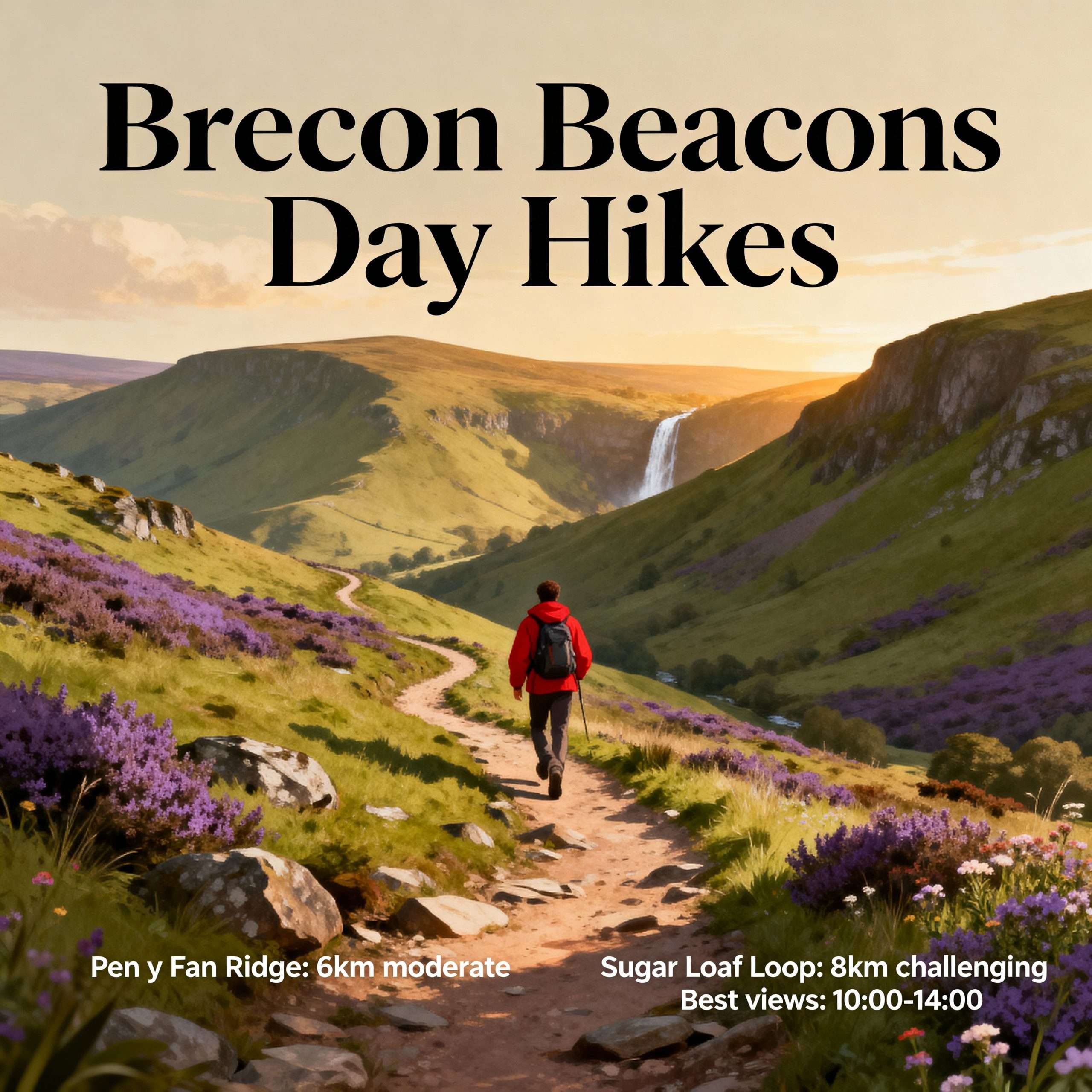
Brecon Beacons day hikes offer some of the most diverse and rewarding trekking experiences in the United Kingdom, ranging from the windswept summits of the Central Beacons to the hidden, moss-drenched gorges of Waterfall Country. Known officially by its Welsh name, Bannau Brycheiniog, this National Park covers 520 square miles of dramatic Old Red Sandstone peaks, glacial cirques, and expansive moorland. Whether you are seeking a challenging mountain circuit or a gentle riverside stroll, the variety of Brecon Beacons walks ensures there is a trail suited to every level of fitness and experience. In this guide, we explore the essential routes, safety requirements, and planning logistics needed to master the terrain of South Wales.
Brecon Beacons day hikes
The appeal of Brecon Beacons day hikes lies in their accessibility and the sheer scale of the landscape. Unlike the jagged, rocky peaks of Snowdonia or the Lake District, the Beacons are characterised by massive, flat-topped ridges and steep northern escarpments that drop away into deep glacial valleys. This unique geology allows for long, high-level ridge walks where you can maintain elevation for miles, enjoying 360-degree views that stretch from the Bristol Channel in the south to the Cambrian Mountains in the north.
For many, the primary draw is the opportunity to stand atop Pen y Fan, the highest point in southern Britain. however, the park is divided into four distinct regions, each offering a different flavour of adventure. The Central Beacons house the most famous peaks; the Great Forest (Fforest Fawr) is a UNESCO Global Geopark filled with limestone pavements and caves; the Black Mountain (Y Mynydd Du) in the west offers true wilderness and solitude; and the Black Mountains (plural) in the east provide long, grassy ridges perfect for fast-paced trekking. Understanding these regions is the first step in selecting the best hikes in the Brecon Beacons for your next outing.
Best Areas for Hiking in the Brecon Beacons
To truly experience the Brecon Beacons National Park walks, you must venture beyond the popular tourist hubs. Each area of the park has a specific character defined by its elevation, vegetation, and historical usage. Below are the primary zones where you will find the most iconic Brecon Beacons hiking routes.
The Central Beacons and Pen y Fan
The Central Beacons are the heart of the park and contain the highest peaks: Pen y Fan (886m), Corn Du (873m), and Cribyn (795m). The most popular route is the “Motorway” from Pont ar Daf, a well-maintained path that is ideal for beginners. However, for a more authentic mountain experience, the Pen y Fan Horseshoe is often cited as one of the best hikes in the Brecon Beacons. This 9-mile circuit starts from the Taf Fechan Forest and traverses the ridges of Corn Du, Pen y Fan, Cribyn, and Fan y Big, offering a strenuous but spectacular day out.
The Black Mountain (West)
Not to be confused with the range in the east, the Black Mountain (singular) is the most remote part of the park. Here, the landscape is dominated by the Carmarthenshire Fans. The standout route is the Llyn y Fan Fach and Llyn y Fan Fawr circular. This hike takes you along the edge of a massive escarpment overlooking two pristine glacial lakes. Steeped in Welsh folklore—specifically the legend of the Lady of the Lake—this area provides a sense of isolation that is harder to find in the central peaks.
Waterfall Country (Ystradfellte)
Located on the southern edge of the Fforest Fawr, Waterfall Country is a labyrinth of deep, wooded gorges where the rivers Mellte, Hepste, and Nedd Fechan tumble over silica rock ledges. The Four Waterfalls Walk is the premier route here, allowing hikers to visit Sgwd Clun-Gwyn, Sgwd Isaf Clun-Gwyn, Sgwd y Pannwr, and the famous Sgwd-yr-Eira, where the trail actually passes behind the thundering curtain of water. These Brecon Beacons walks are particularly stunning after heavy rainfall, though the paths can become exceptionally muddy and slippery.
The Black Mountains (East)
Bordering England, the Black Mountains (plural) are a series of long, parallel ridges separated by deep valleys like the Vale of Ewyas. This area is home to the ruins of Llanthony Priory and the famous “Dragon’s Back” ridge leading to Waun Fach, the highest point in this range. The terrain here is often softer underfoot—grassy and peat-heavy—making it a favourite for those who enjoy long-distance ridge running or quiet, contemplative trekking away from the crowds of Pen y Fan.

Easy, Moderate & Challenging Walks Explained
When planning your Brecon Beacons day hikes, it is vital to match the route difficulty to your group’s ability. The park’s terrain can be deceptive; while many paths are well-trodden, the weather and elevation gain can quickly turn a simple walk into a serious undertaking.
Easy Walks: For families or those seeking a relaxed day, the Monmouthshire and Brecon Canal offers miles of flat, scenic towpaths. Alternatively, the lower reservoir loops in the Talybont Valley provide beautiful water views without significant climbing. These are excellent options when the cloud is low on the summits and visibility is poor.
Moderate Walks: Routes like the Sugar Loaf near Abergavenny or the Skirrid (Ysgyryd Fawr) are perfect moderate challenges. They involve a steady climb to a distinct summit but are generally shorter in duration (2–4 hours). The main path up Pen y Fan from Storey Arms also falls into this category, provided the weather is fair. These routes are a staple of UK National Parks hiking hub itineraries for those transitioning from lowland walking to hillwalking.
Challenging Walks: The “Fan Dance” route (a famous SAS selection test) and the full Beacons Circuit are considered challenging due to the cumulative elevation gain and exposure. These Brecon Beacons hiking routes require high levels of fitness and the ability to navigate in mist. The Black Mountain traverse, covering Fan Brycheiniog and Picws Du, is also physically demanding due to the rugged, pathless sections of moorland that must be crossed.
When to Go & Weather Considerations
The weather in South Wales is notoriously fickle. Because the Beacons are the first major high ground that Atlantic weather systems encounter after crossing the Bristol Channel, they receive high rainfall and frequent low cloud. Even on a day that begins with sunshine in Brecon or Merthyr Tydfil, the summits can be shrouded in “clag” (thick mist) with wind speeds exceeding 40mph.
Seasonal Advice:
Always check the Mountain Weather Information Service (MWIS) or the Met Office mountain forecast before setting out. If the forecast predicts sustained winds above 40mph or zero visibility, consider staying at lower elevations in the valleys or forest plantations.
What You Need for a Safe Day Hike
Safety on Brecon Beacons day hikes starts with the right equipment. The terrain is a mix of hard-packed gravel, boggy peat, and slick sandstone, requiring versatile gear that can handle rapid changes in conditions. Before heading out, consult our hiking boots guides to ensure your footwear provides adequate ankle support and grip for the steep descents found on the Pen y Fan horseshoe.
Essential Gear Checklist:
Planning Your Brecon Beacons Walk
Success on Brecon Beacons day hikes depends on logistical preparation. Parking is one of the biggest challenges in the park, particularly at the Storey Arms and Pont ar Daf trailheads. These car parks often fill by 8:00 AM on weekends. The Brecon Beacons National Park Authority provides updated information on parking fees and alternative “Sherpa” bus services that can transport hikers between major trailheads.
Access and Conservation:
Much of the park is “Open Access” land, but it is also a working landscape with thousands of sheep and wild ponies. Always keep dogs on a lead, especially during lambing season (March–June). Follow the Countryside Code: leave no trace, take your litter home, and do not light fires or BBQs, as the peat moors are highly flammable during dry spells. For detailed route maps and digital tracking, we recommend checking the Ordnance Survey walking routes database, which features many community-verified paths through the park.
Finally, ensure you are aware of the land management guidelines provided by Natural Resources Wales, particularly when hiking in Waterfall Country or the Fforest Fawr, where certain paths may be closed for path restoration or forestry work. By planning ahead and respecting the environment, you ensure that these Brecon Beacons National Park walks remain pristine for future generations of adventurers.

Whether you are tackling the heights of the Central Beacons or the depths of the Mellte gorges, the Brecon Beacons day hikes available today offer a world-class outdoor experience. With the right gear, a solid plan, and a respect for the mountain weather, you are ready to explore the rugged beauty of South Wales.
